
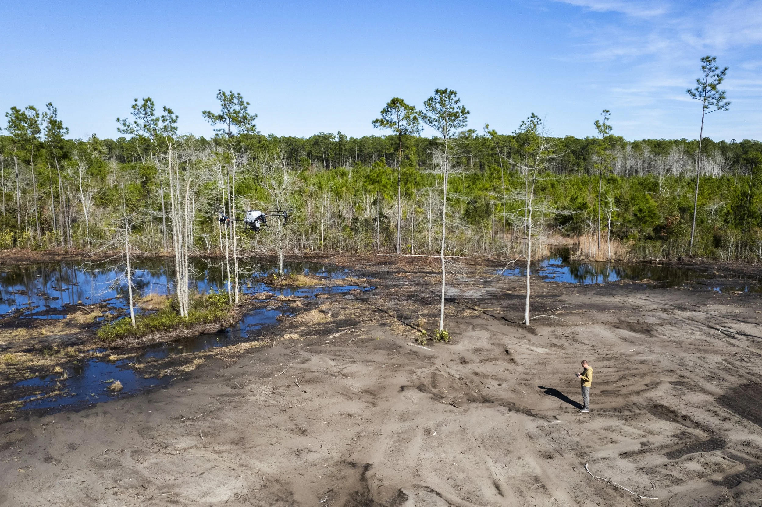
Aerial Drone Spraying Services for South Carolina
Lowcountry Drone Spraying is fully insured, FAA-licensed, and holds all required chemical application licenses from the state of South Carolina.
Precision Aerial Spraying · Granular Seed & Fertilizer Spreading · Mosquito & Insect Control · Forestry & Tree Counts · Pond, Marsh & Duck Impoundment Management · Golf Course Applications · Aerial Photography & Video ·
Precision Aerial Spraying · Granular Seed & Fertilizer Spreading · Mosquito & Insect Control · Forestry & Tree Counts · Pond, Marsh & Duck Impoundment Management · Golf Course Applications · Aerial Photography & Video ·
We bring safe, precision aerial application to farms and properties across South Carolina—staying true to what matters most: Safety, Precision, and People.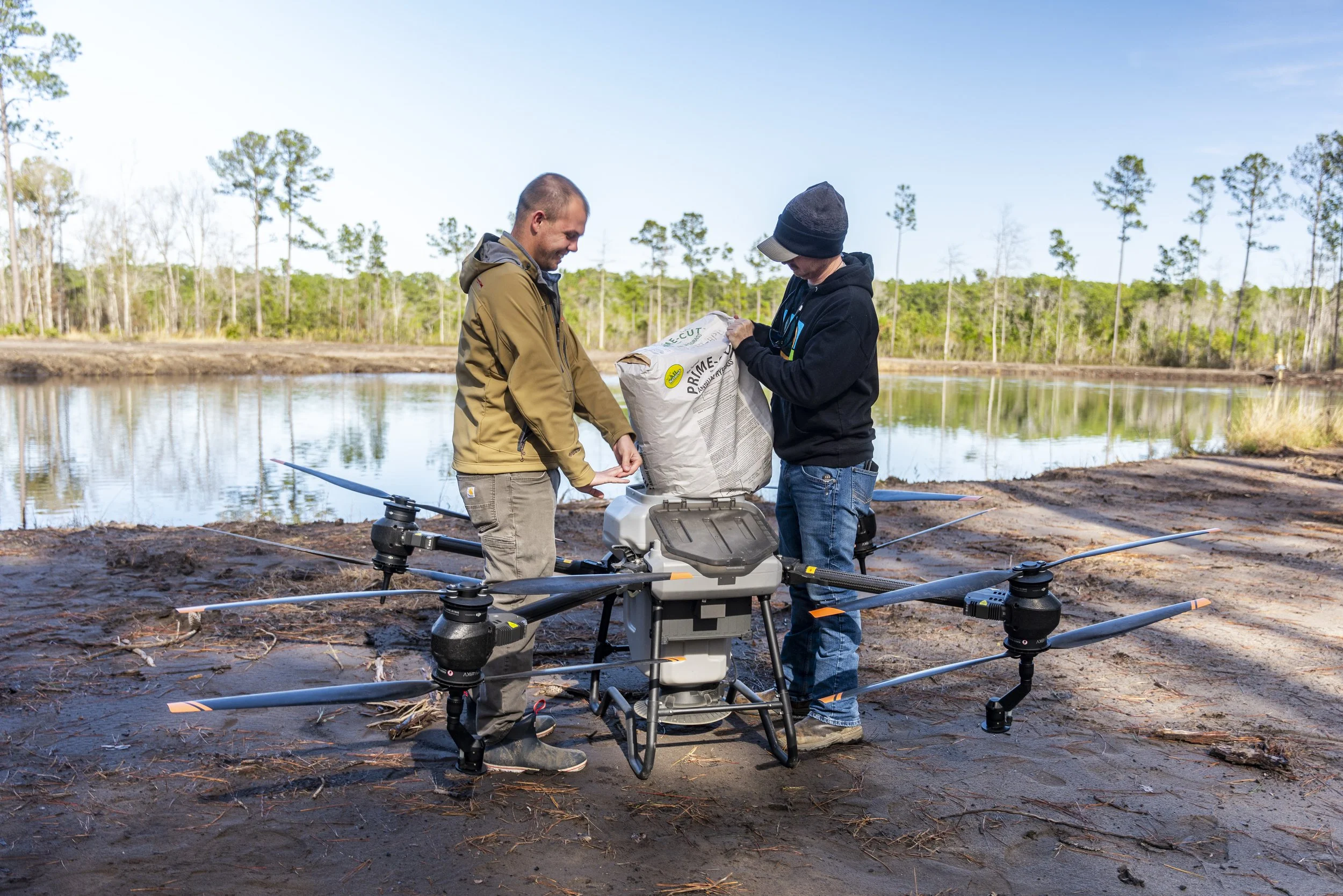
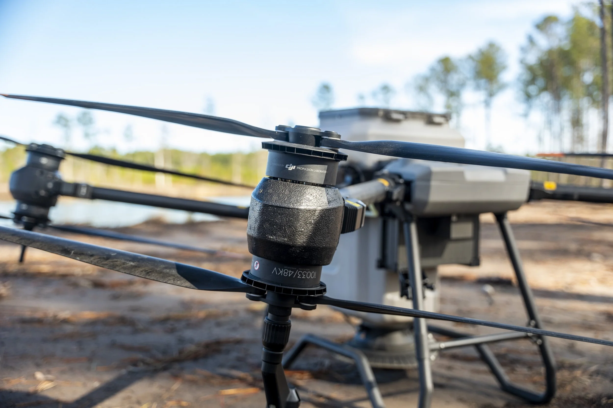
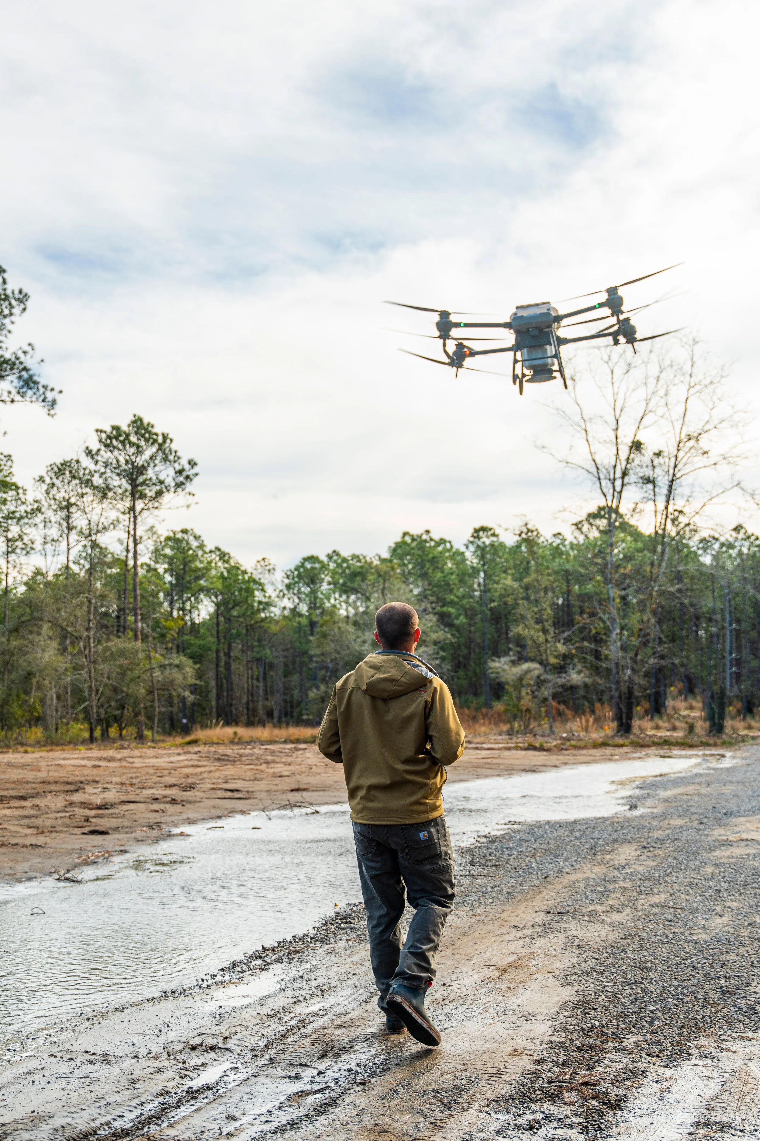
Services
Seedling Survival Studies
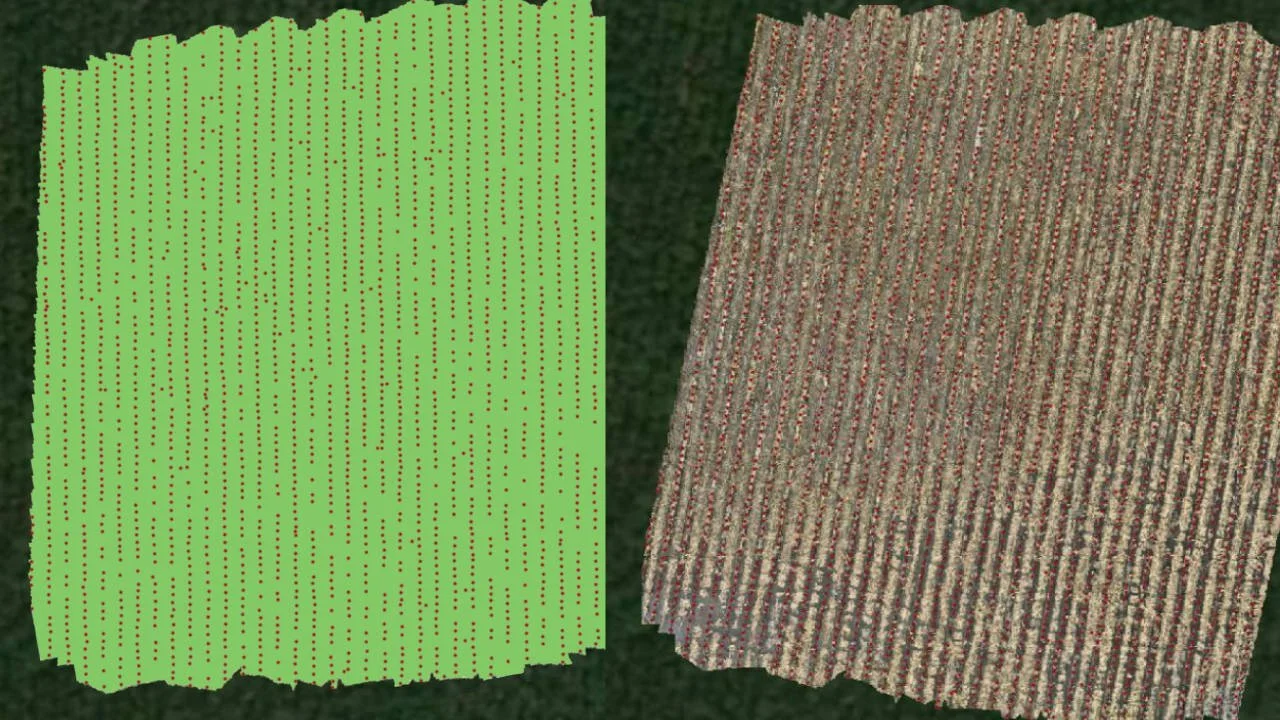
Using our multispectral drone, we track crop and seedling health from the air—spotting stress or disease long before it's visible from the ground.
Precise stem counts to measure germination success
Tree counts, including color-coded counts by species or health status
Clear picture of stand condition without walking every acre
Aerial Applications by Drone
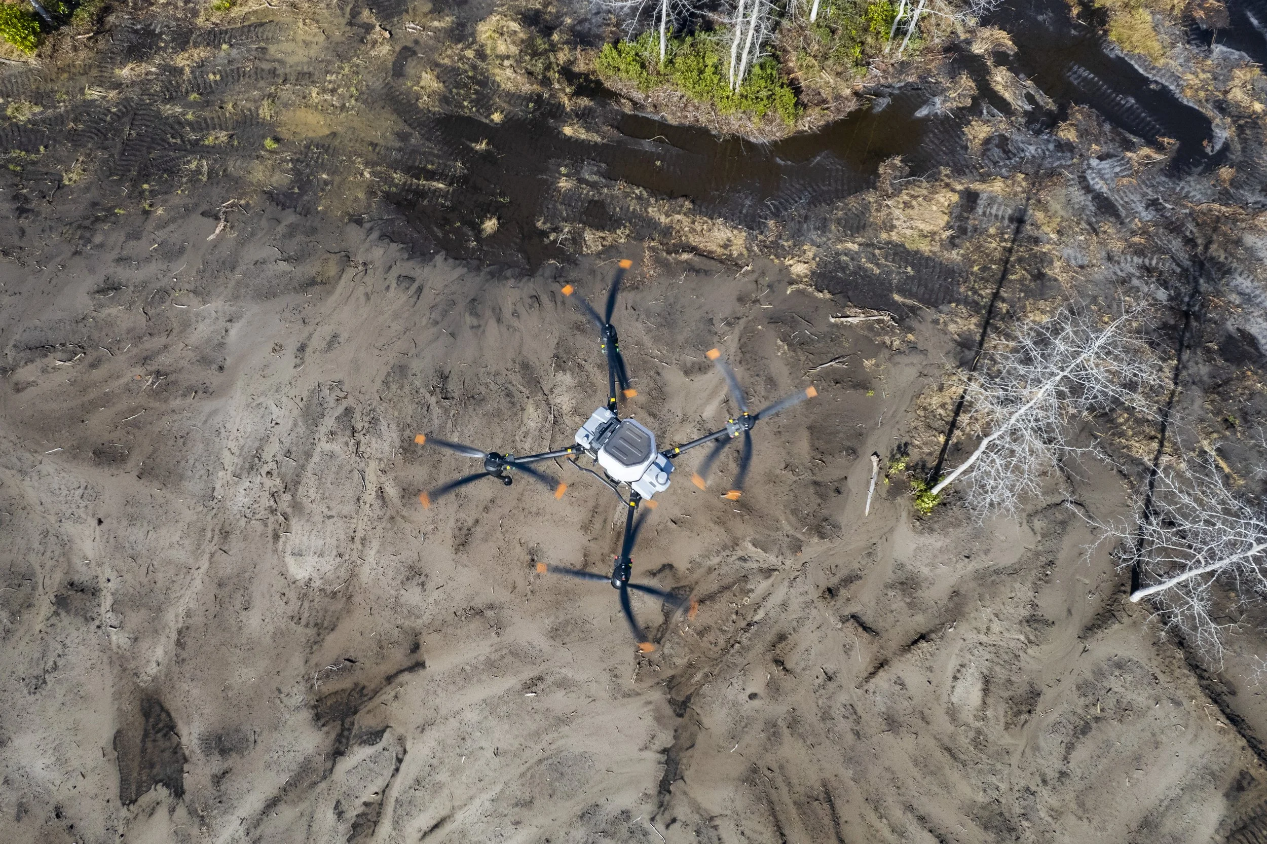
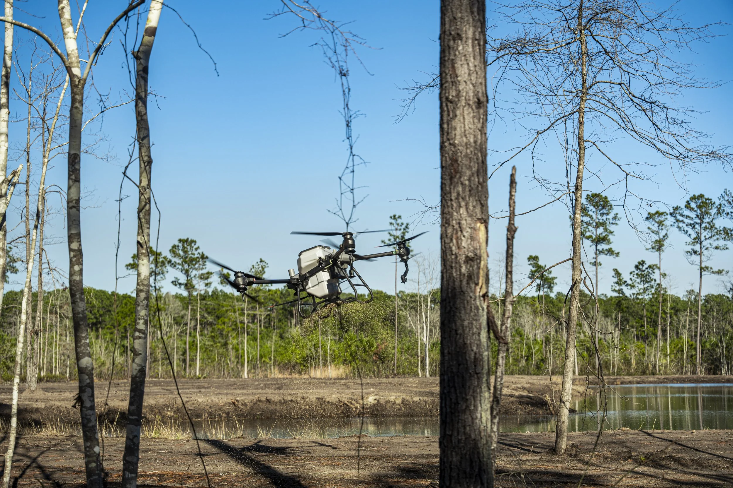
We specialize in precision aerial application across Lowcountry properties.
Herbicides, insecticides & fungicides — more even coverage, less drift than ground spraying
Mosquito & insect control
Reaches wet, flooded, or hard-to-access areas ground equipment can't
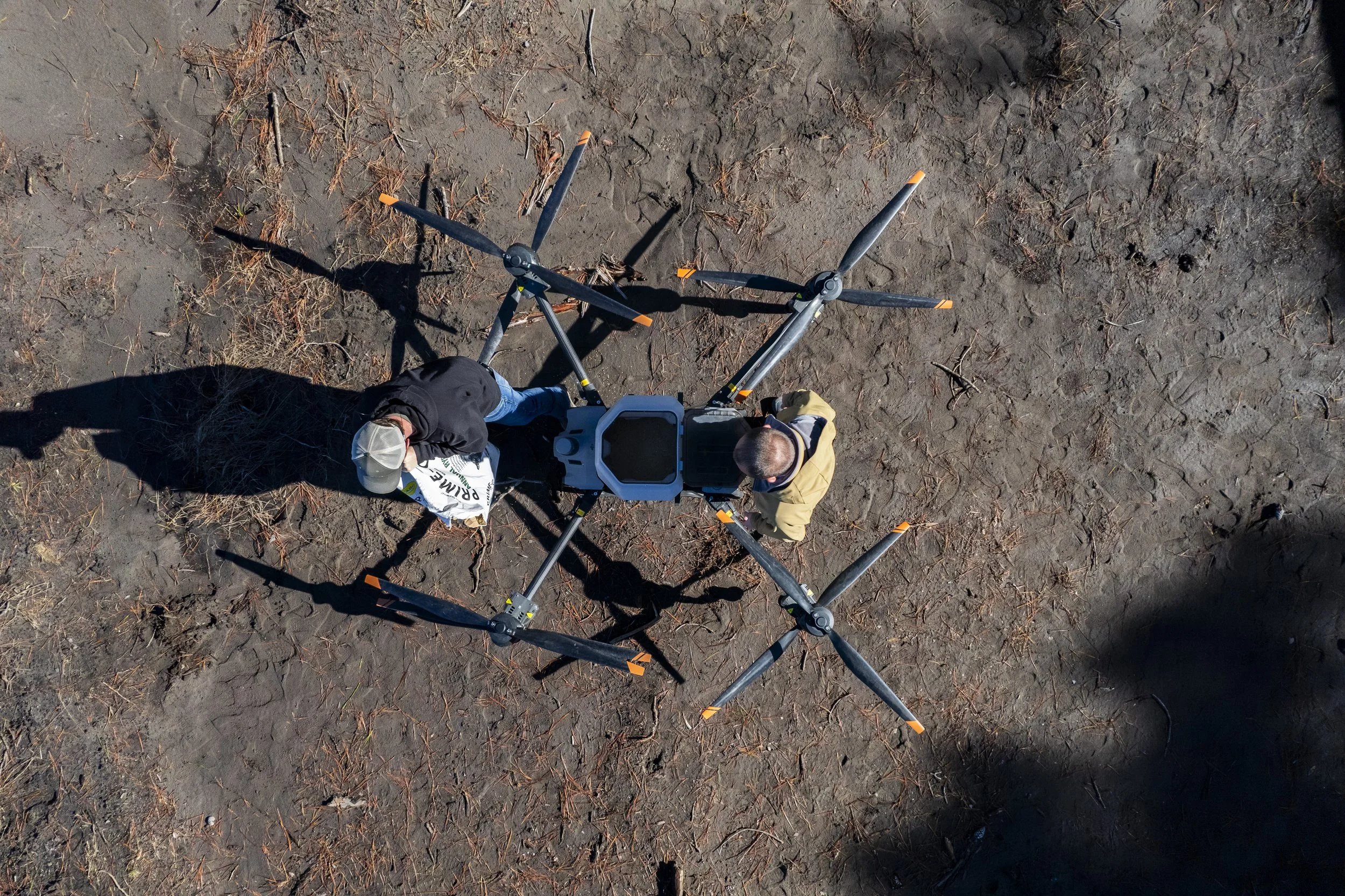
100-lb granular spreader for seed & fertilizer distribution
Serving agriculture, forestry, ponds, duck impoundments & golf courses
Photography by Drone
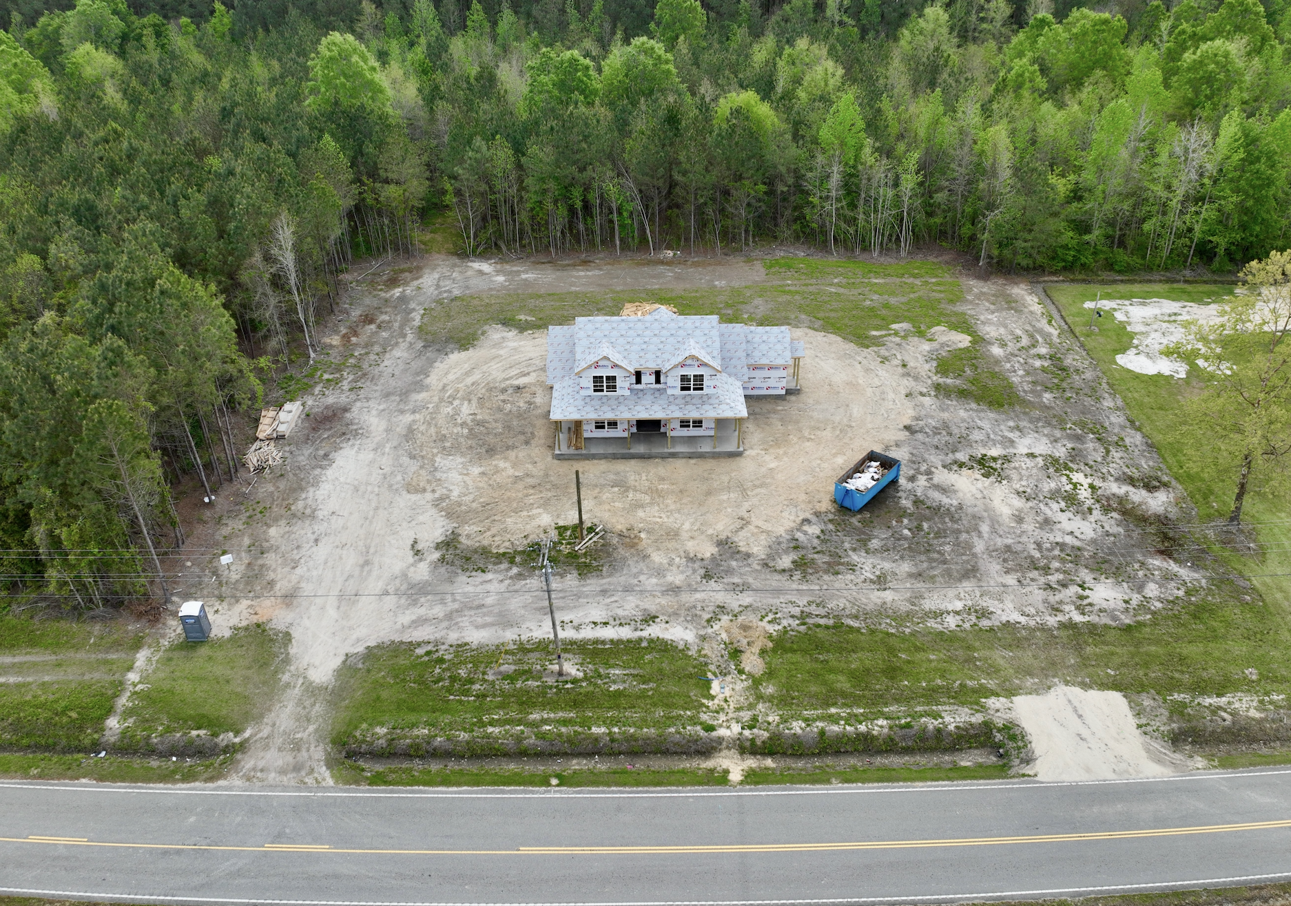
Aerial photography gives you a perspective ground-level shots can't match.
Real estate listings & property marketing
Roof & property inspections
Construction progress & job site documentation
Site scouting for new building projects before you break ground